Technology Partner Integration
Ark Strategic 3D Mapping Integration
from human-verified visual weapon detection to navigable 3D site intelligence

Ark captures building exteriors with proprietary drone systems and high-resolution sensors, and maps interiors with LiDAR and AI-generated point clouds, producing fully colorized, navigable models that locate cameras, AEDs, doors, exits, and utility shutoffs. Verified ZeroEyes detections are tied to their camera's position on that model, so responders see the field of view, the surrounding blind spots, and the route to the area of concern.
Verified detection, placed inside a true-to-life model of the site.
Interior and Exterior Coverage
Drone-captured exteriors and LiDAR-scanned interiors in one model.
Detections Tied to Real Positions
Placed at the camera's location, not described over the radio.
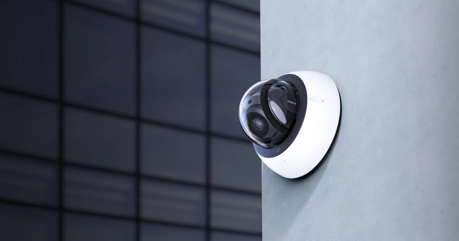
Camera Coverage and Blind Spots
Cameras mapped with fields of view, so teams see where visibility ends.
Critical Assets in Context
AEDs, exits, entry points, utility shutoffs labeled and verified.
Three steps from detection to navigable location.
Detect / Verify
ZeroEyes detects a visible weapon and a trained ZeroEyes Operations Center analyst confirms the threat.
Alert Placed on the Map
The verified detection is tied to the camera's position on the Ark Strategic 3D model, showing field of view, blind spots, and the route to the area of concern.
Respond
Security teams and responders navigate the model to understand threat location, site layout, and critical assets before and during response.
What security teams get.
Orientation Before Entry
Hallways, stairwells, rooms, entry points before responders arrive.
Precise Threat Location
An exact position inside a building, not a general area.
Broad Responder Access
Reaches responders via RapidSOS or any web browser, no local hardware.
Support for State Mapping Mandates
School safety mapping is now required by law in a number of states; one responder-ready 3D model serves that and the ZeroEyes integration.
See ZeroEyes in action
Schedule a short demo to see how visual firearm detection and human verification work on the cameras you already have.
Book a Demo