A secure 3D twin of every floor, hallway, and approach.
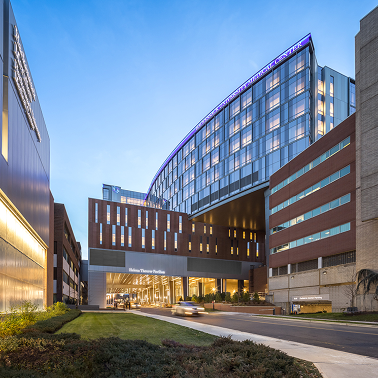
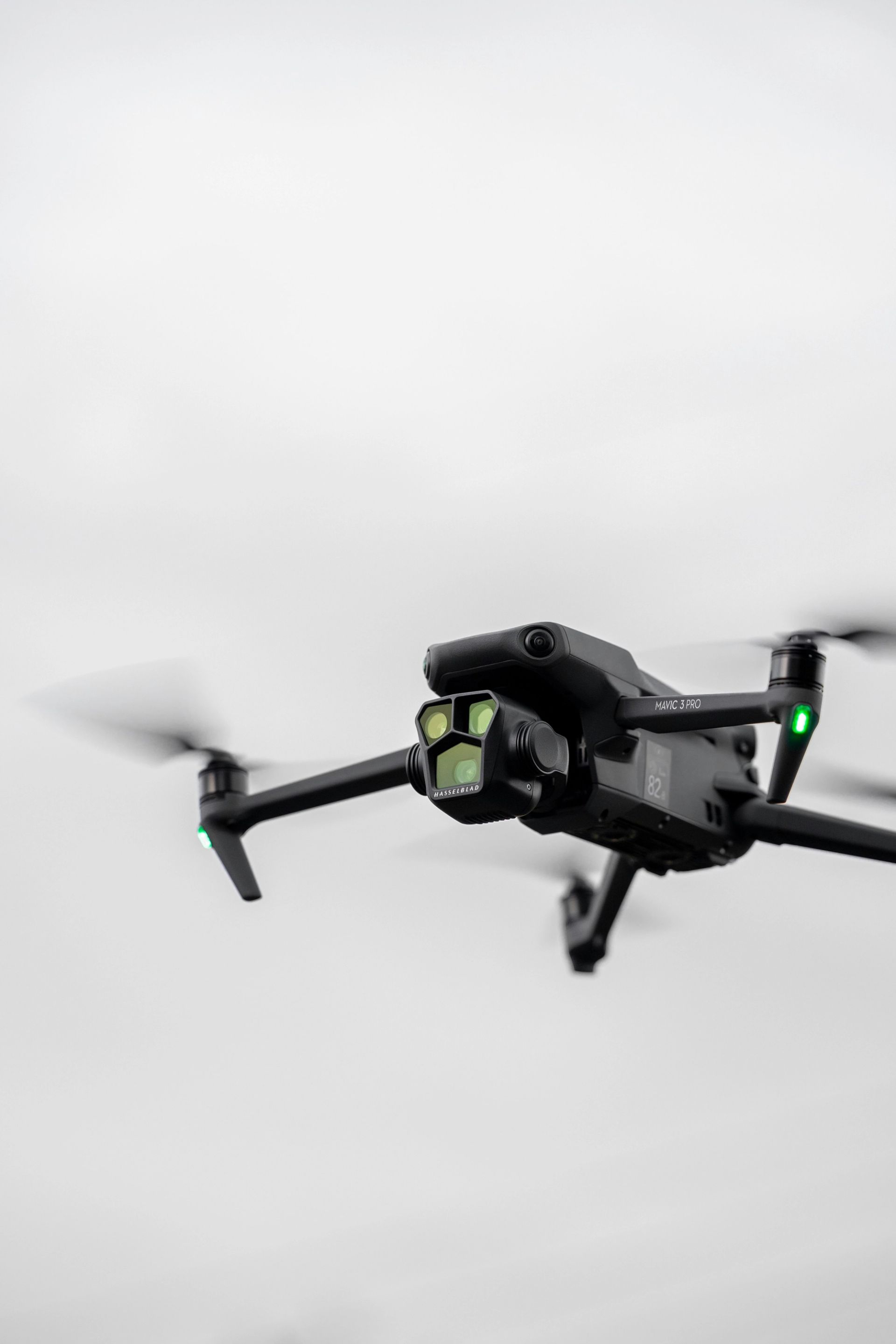
Capture your campus or facility inside and out with drone imagery and LiDAR, built into a permissioned, interactive 3D model that helps teams locate critical assets, validate camera coverage, and respond with precision.
- Coverage
- Interior + Exterior
- Fidelity
- Millimeter-level LiDAR
- Built with
- Ark · FAA-Compliant
Four capabilities, one permissioned twin.
The ZeroEyes 3D twin isn't a flat floor plan. It's a navigable, measurable model that ties detection, response, and operations together in a single shared environment.
Every feature below is delivered as part of the deployment package. Nothing requires custom integration.
01/041
Safer Response
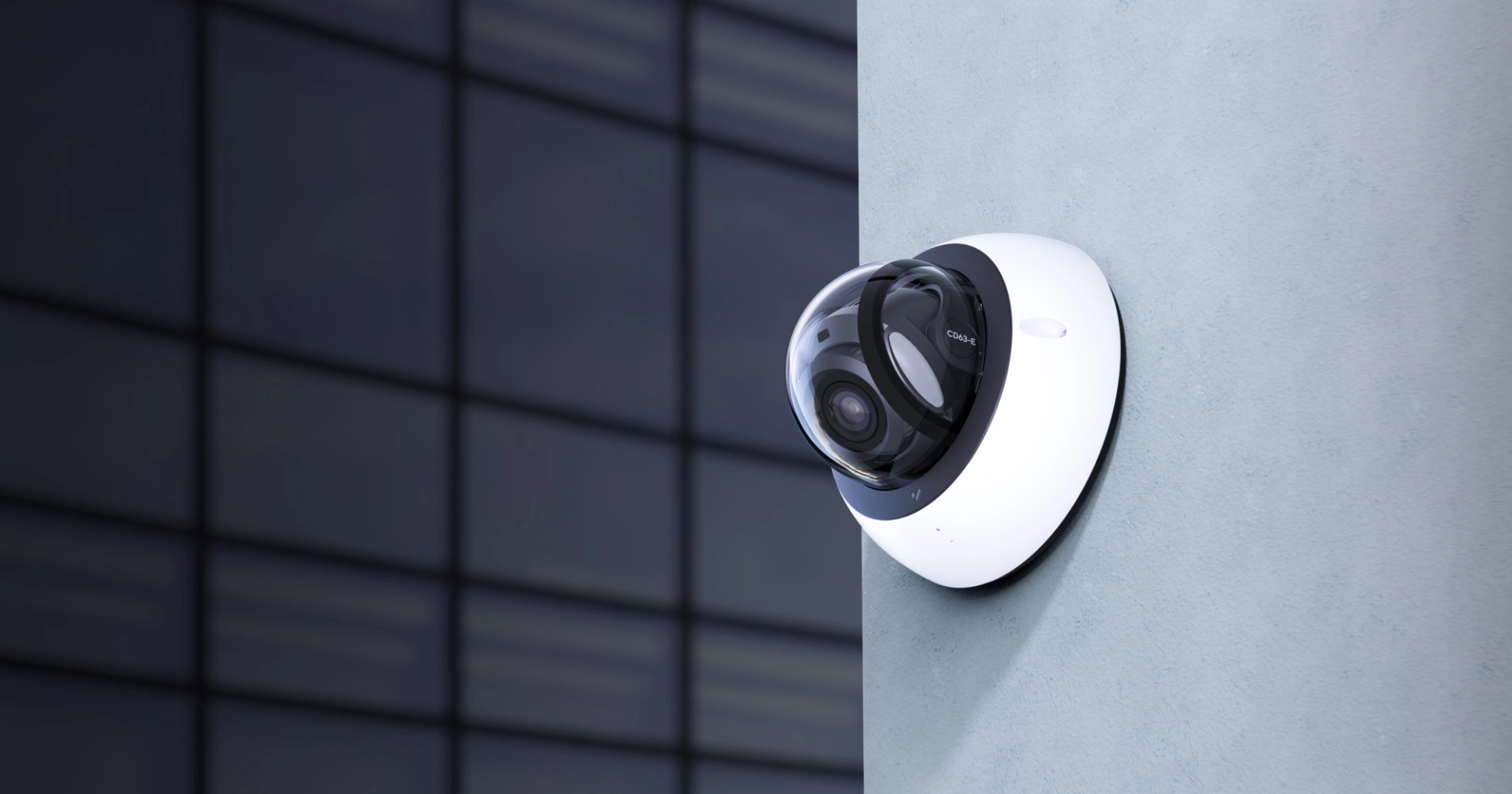
Responders enter a known environment, with confirmed camera coverage, exits, breach points, and shelter locations rendered in 3D before they cross the perimeter.
Step 1 of 5: KICKOFF & SCHEDULING
Site Mapping Simplified
KICKOFF & SCHEDULING
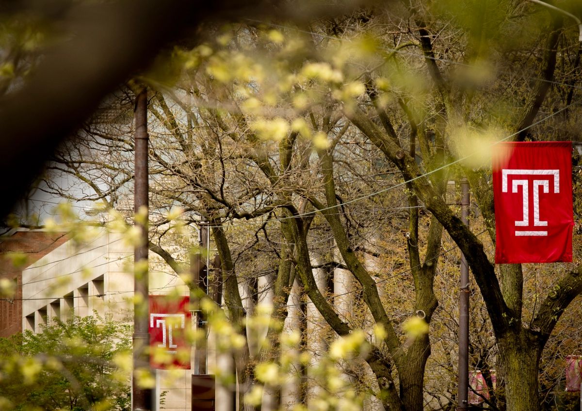
Shortly after agreement execution, ZeroEyes and Ark coordinate facility points of contact, priority areas, and site access to get the capture underway quickly.
Step 1 · Coordination
Modern mapping for any space.